Monitoring volcanic eruptions : Mt.Pinatubo
Outline:
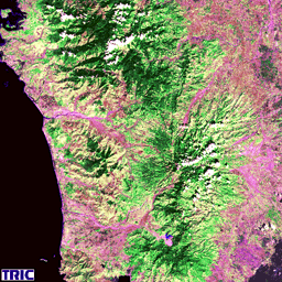
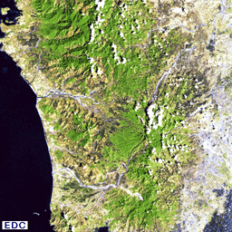
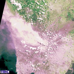
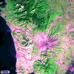
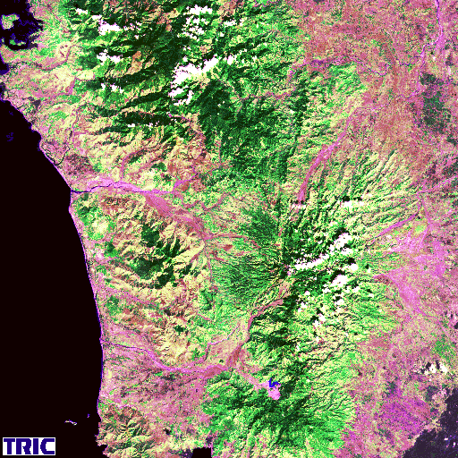
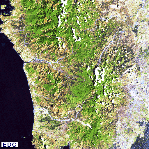
After almost 600 years of silence, Mt. Pinatubo of Philippines suddenly became active on June 9, 1991, and a huge eruption took place on June 15,1991.
The areas within 20km from the mountain were covered with thick ashes and the smoke went up to the stratosphere. The eruption seriously damaged the environment in global scale. The satellite images show the dramatic environmental change which took place in this area.
Multi Temporal Images of Mt. Pinatubo
Landsat MSS Feb. 21 1979 MOS-1 MESSR Nov. 25, 1989
MOS-1 MESSR Jul. 5 1991 MOS-1 MESSR Dec. 5, 1991
Copyright©1996, by Tokai University Research & Information Center
No reproduction or republication of any contents on TRIC HOME PAGE without written permission
All Rights Reserved
E-mail:
kcho@keyaki.cc.u-tokai.ac.jp
