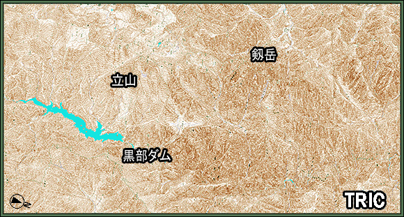
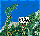
Satellite images around Mt.Tsurugi
This is 3D spectacle image around Mt.Tsurugi (Toyama prefecture) constructed from satelite image of Landsat-8.
Data acquisition:2007/10/10
Satellite data:ALOS(Daichi)AVNIR-2
Distribution:RESTEC
Topographic map:Topographic map of 1:25,000,Geographical Survey Institute
Elevation data: Geographical Survey Institute base map information 10m digital elevation model
Credit:JAXA
Image processing:Tokai university reseach & imformation center