Home What's New TRIC Image/Appli. Res./Edu. Data FAQ Access Sitemap Links

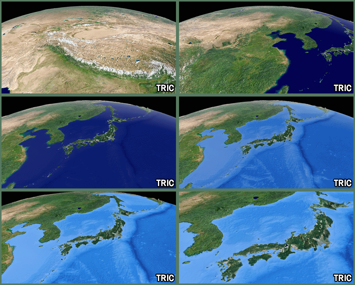
Japanese Islands 3D image seen from space
This page introduces 3D satellite image of the Japanese Islands seen from various directions and angles.
●Images around Yodo river seen from Landsat-8
●Stellite images around Mt.Tshurugi
●Satellite images around lake Touya
●Iwami silver mine 3D image has been uploaded
●Mt.Fuji 3D image has been uploaded
●3D spectacle image around the Kagoshima bay has been uploaded
●3D spectacle image around the Yakushima and Tanegashima Islands has been uploaded
●3D spectacle image around the Akiyoshi plateau
Satellite data:MODIS TERRA NASA GDAAC MODIS SUPPORT TEAM / LANDSAT-7 ETM+
ETOPO2 NOAA/NGDC
Image Processing:Tokai university Research & Information Center (TRIC)