Terra/MODIS Near Realtime Sea ice monitoring of the Sea of
Okhotsk
Tokai University Research & Information Center / Space Information Center
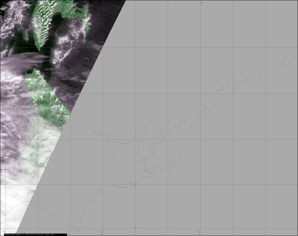
This image is the latest image of the Sea of Okhotsk observed by the MODIS sensor on board the Terra satellite of NASA.
The image is false color composite of MODIS Channel 1 and 2. MODIS Ch1 is colored in red & blue and Ch2 is colored in green.The spatial resolution of the image is 250m.
The time stamp on the image is the observation time in UT. The Japan Standard Time(JST) will be UT+9. For an example, 02:24:10 is 11:24:10 JST. Around 14:00 JST, the MODIS data of the day will be uploaded.
This image is used by the Japan Coast Guard
Ice
Information Center for producing the
Sea Ice condition Chart