The Mt. Usu in Hokkaido, Japan became active in the end of March 2000, and erupted at 13:10JST on March 31. In order to provide satellite images in timely manner, the latest NOAA image of Hokkaido area is uploaded on this page soon after the data reception.
Å@
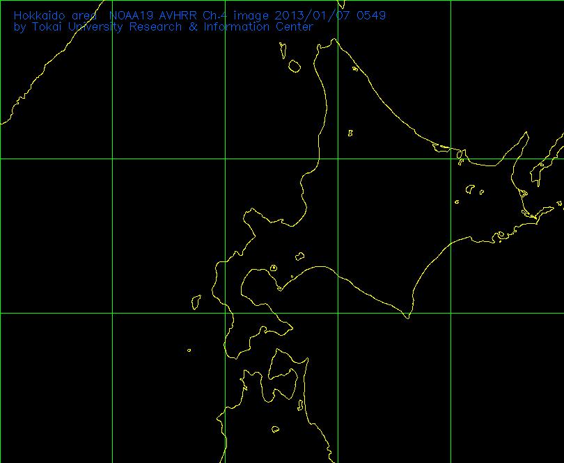
This image is the thermal infrared image of Hokkaido area observed by AVHRR sensor onboard the NOAA satellites. In this image, as the temperature goes high the image becomes dark. Since the temperature of clouds are low, clouds looks white both in the day time and night time. If the volcanic plumes go up high, the temperature decrease and also look white. However, since the resolution of NOAA image is 1km, small/middle scale eruptions may not be observed with this image.
Some of the latest NOAA
images are here
The NOAA images are received at Tokai University Space Information Center(TSIC) in Kumamoto, and transferred to Tokai University Research Information Center(TRIC) in Tokyo for data processing.
![]()
![]()
e-mail:kcho@keyaki.cc.u-tokai.ac.jp
Updated daily